

By an accident of signposting, my visit to the Tanfield Railway [https://www.tanfield-railway.co.uk] began at East Tanfield which is perhaps not the best place.
I later discovered that Andrews House station is where the party’s at, not least because it’s within walking distance of the Marley Hill engine shed, where there’s lots to see.
The station building at East Tanfield is the very welcoming Tommy Armstrong Tea Shop, its tables impressively laid out with fine-looking china. Coffee and pastries are in abundance, and they’ll even sell you a train ticket, written by hand.
However, there’s a noticeable lack of what the heritage industry calls “interpretation”.
Even the timetable is occult, possessed by knowledgeable old geezers squinting at sheets of A4 paper which they fold and stuff surreptitiously in the pockets of their anoraks.
You can, of course, ask the station staff. Like freemasonry, knowledge here is acquired by degrees.
Trains appear when they’re good and ready, and they’re worth waiting for.
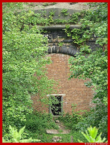
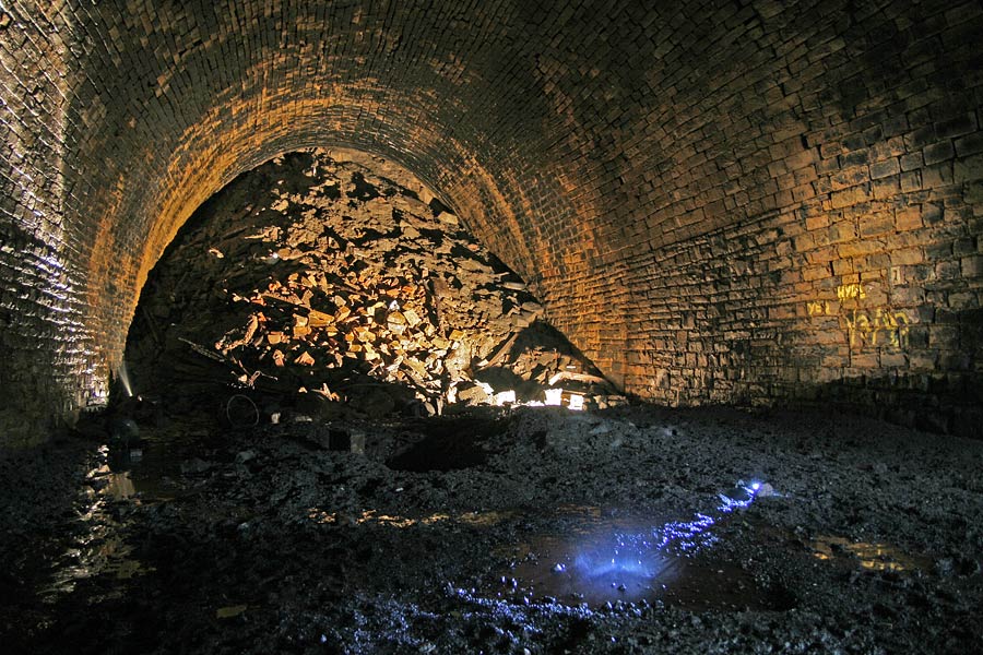
This is a no-nonsense coal railway, partly dating back to around 1720, which allows it to claim to be “the world’s oldest railway”.
It operates sturdy little tank engines, such as would, in times gone by, heave long trains of coal wagons out of the local collieries.
The passenger carriages are mostly four-wheelers that don’t go “diddly-dee, diddly da” but rather “clunk, clunk” – Victorian equivalents of the notorious Pacers, but much more elegant.
It’s always heartening on a volunteer-run railway to see engine crew who look not a day over twenty.
The passengers are mostly older than twenty – serious enthusiasts who know what’s going on, and couples with glum-looking dogs which would rather be chasing sticks than catching trains.
There’s a trackside footpath, useful for photographers who wait, tripods set and cameras ready, to capture the seldom-spotted tank engine.
The place is a delight. Everyone is friendly and unrushed. And the roast pork breadcakes are superlative.


